 Illustrative photo
TrailAbout 0.4 km
The trail
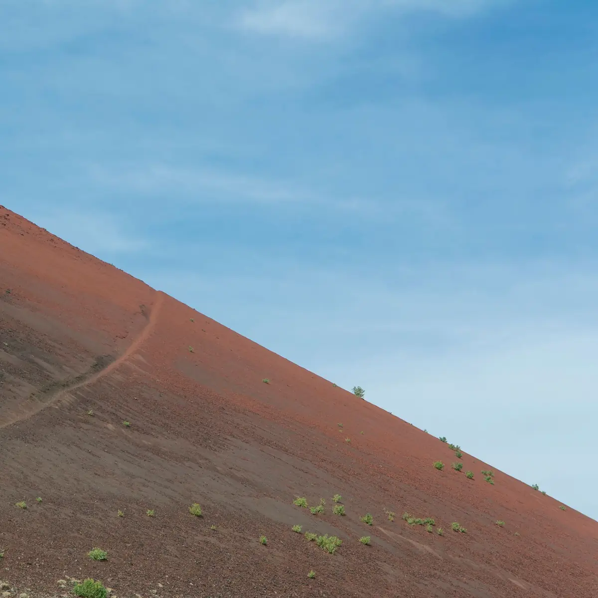
Where the climb begins.
The starting point for the Mount Batur climb from the Toya Bungkah side.
Around Batur
 Illustrative photo
Closest to the guesthouse
Illustrative photoWhere the climb begins.
The starting point for the Mount Batur climb from the Toya Bungkah side.
 Illustrative photo
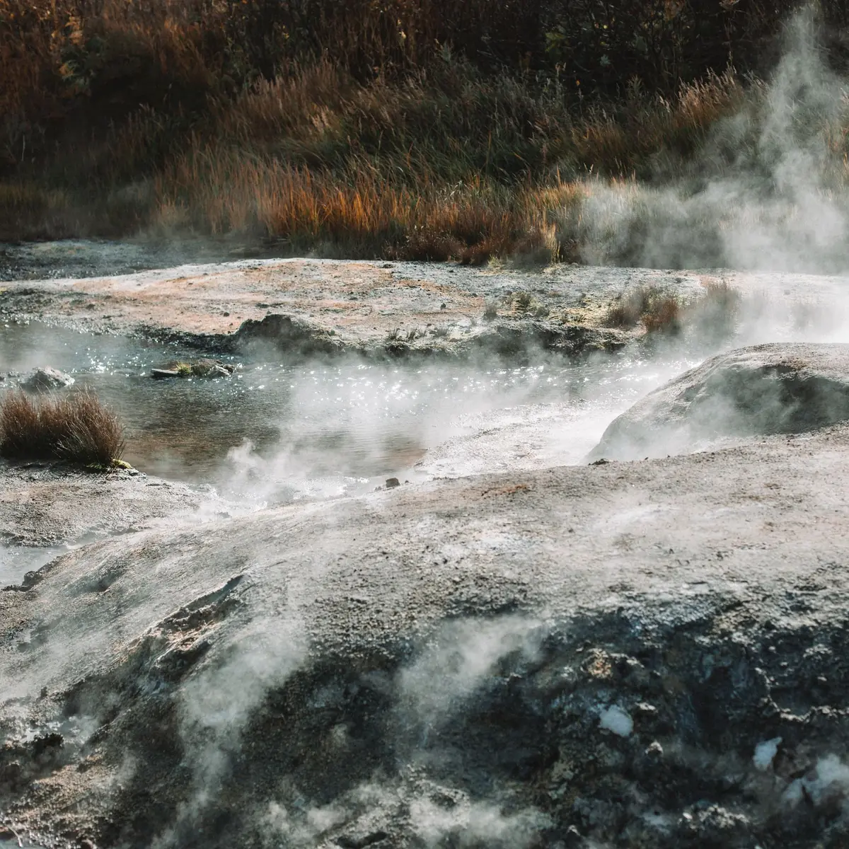
Warm water by the lake.
Natural hot spring pools by the lake, a short walk down the road.
 Illustrative photo
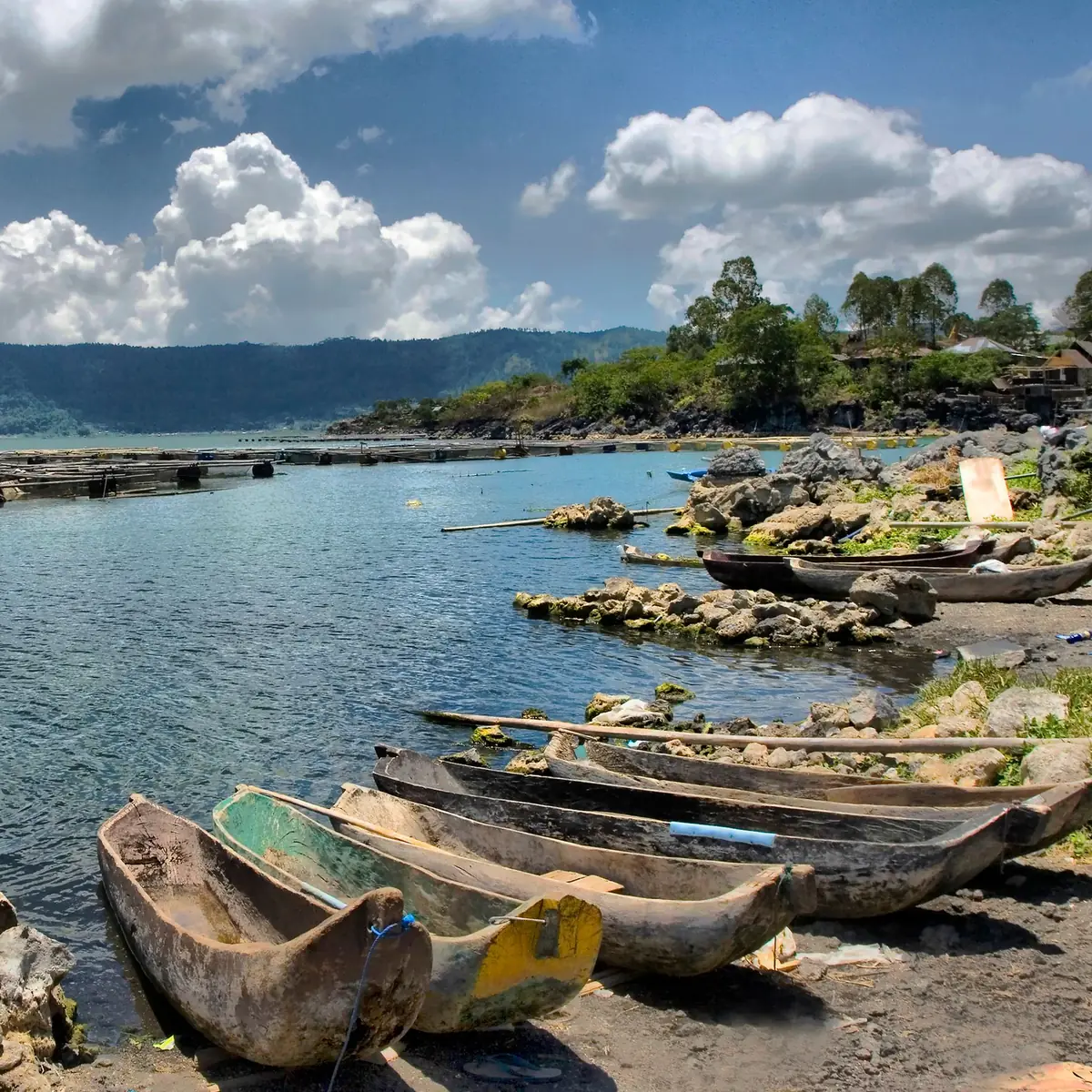
The water below the volcano.
The crater lake below Mount Batur, with the shore close to the hot springs.
The guesthouse sits on Jalan Pendakian Gunung Batur, the hiking road that leads to this starting point. Sunrise climbs usually begin before dawn, so being close to the start makes the early morning simpler.
Several hot spring venues sit along the lake shore in Toya Bungkah. Each is run by its own operator with its own hours and entry fees, so check with them directly before you go.
Lake Batur fills the eastern side of the caldera. The shore near the hot springs is the closest point to the guesthouse. Boats to the villages across the water leave from Kedisan pier, further along the lake.
A little further
About 2.2 km
The second common starting point for the climb, beside Pura Jati temple.
Many guided groups start from the Pura Jati side. Your guide will confirm the meeting point and time when you book the climb.
About 3.5 km
The lakeside pier where boats cross Lake Batur.
Boat crossings are run by local operators. Times and prices are set by them.
About 4.9 km
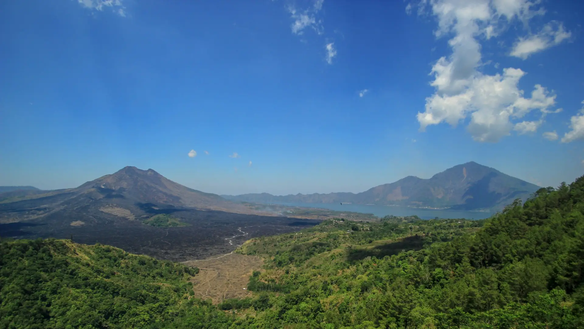
A lookout on the caldera rim with a wide view of the volcano and the lake.
The road up to the caldera rim passes close by, so it is an easy stop on the way in or out.
About 6.4 km
One of the important temples of the Batur area, on the caldera rim.
Visitors are expected to dress respectfully. A sarong and sash are required inside the temple grounds.
Distance not listed
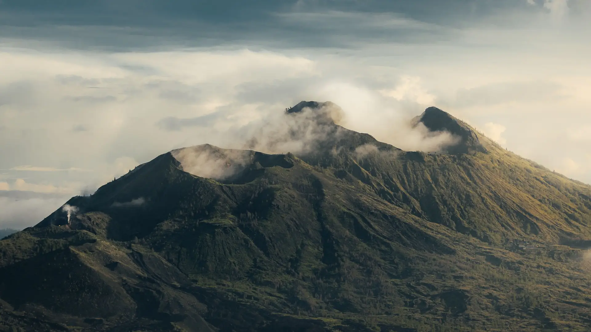
The crater rim at the top of the climb, where most walkers wait for sunrise.
Time to the top depends on the route, the group and the conditions on the day. A local guide can tell you what to expect.
 Illustrative photo
On the climb